NYC Subway Map Redesignd
NYC Subway Map Redesignd
Out of context: Reply #8
- Started
- Last post
- 23 Responses
- ********2
If you follow cartography over the years they have become more minimal/simplified. Transit systems across the U.S. have been continually pushing towards the perfected 45 degree angle "spider maps" originally made by Harry Beck and George Dow.
Stations have moved from putting key landmarks on maps to making other wayfinding signage seen throughout stations that apply to the surrounding areas.
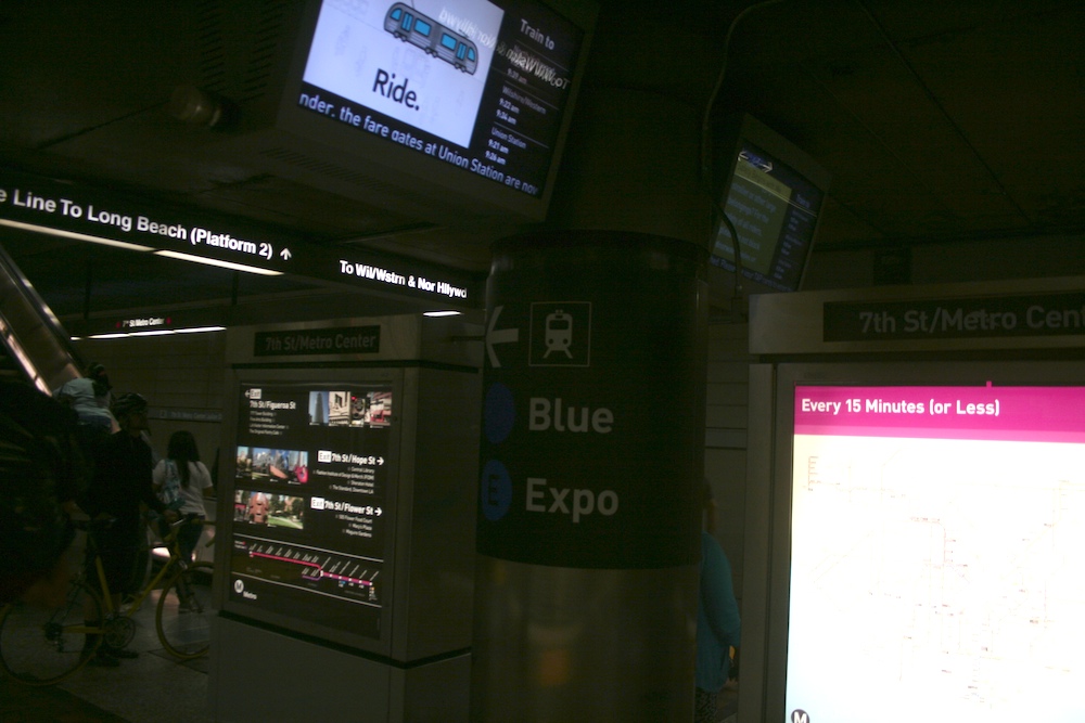

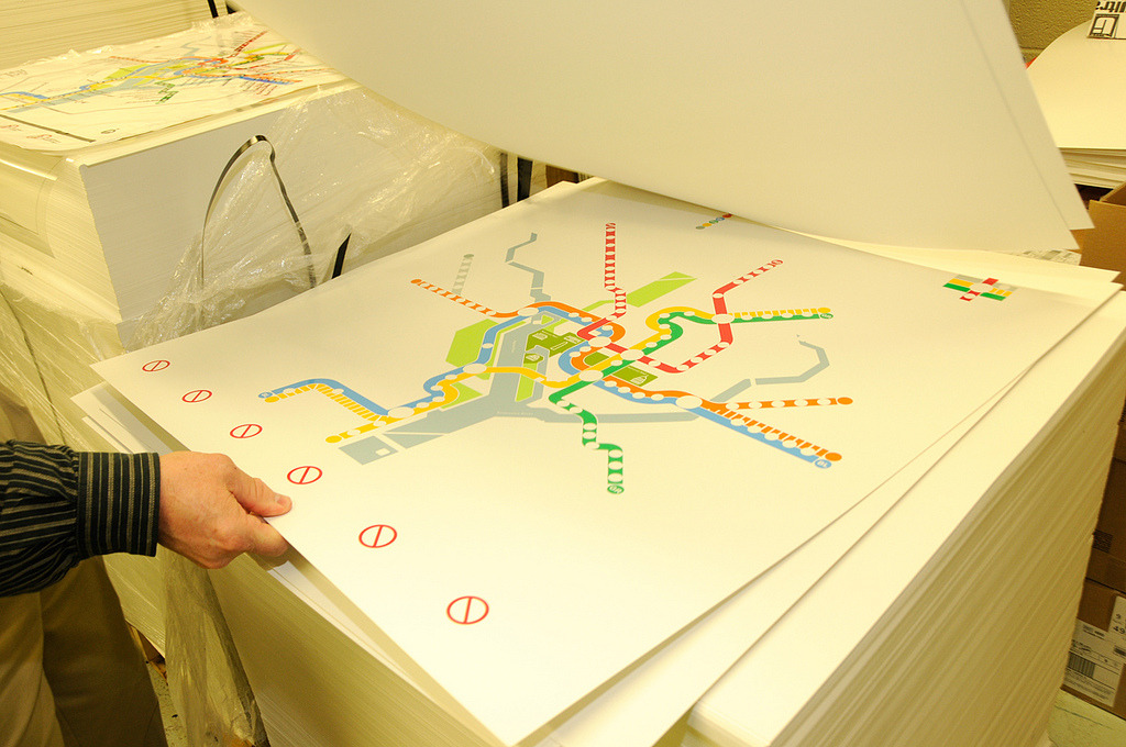
(my work ^ simplified spider requested by local transit)maps are going to continue to get more simplified. transit systems like WMATA who originally agreed with nb's way of thinking will continue to look like a clusterfuck
old WMATA:

New:
- hey, nice map, PGnash
- So, once I find the station I need (from somewhere else) then I use the transit map, then I hope the information I need is located at the station.********
- And if I went to the wrong station? Well, better dig out some other city map and start over.********
- every station has a master map aka "regional map" so when you get off course you refer to a map that covers every line and usually a few well known landmarks.********
- Yeah, all I'm asking for is landmarks!********
- panel maps will never show street names or landmarks, so if ur on the street ur a bit fucked unless you get some info pamphlets usually supplied on busses********
- Yes. When you get to the stop you look at your phone again like a sane person and don't expect entire city street maps posted everywhere.monospaced
- I'm not expecting entire city maps. Just a few parks outlined and some rivers, and neighbourhood names.********
- I'm not criticizing your map, by the way. I'm not familiar with that transit system, so I can't comment.********
- wear gloves while kiosking. those things are nasty.yurimon